Permits for sand nourishment required are from the USACE, IDNR, and the Illinois Environmental Protection Agency (IEPA).  A year ago, the Park District anticipated long term trends and started the process to obtain permits which will allow for sand nourishment at Rosewood Beach for the next 10 years.  

Emergency approval comes from United States Army Corps of Engineers (USACE) and the Illinois Department of Natural Resources (IDNR).  Emergency approval would allow the Park District to proceed with the project while longer-term sand nourishment permitting continues.

Rosewood’s recreation cove located at the south end of the beach will not be replenished as part of this project because there are no structures at risk along the cove.  

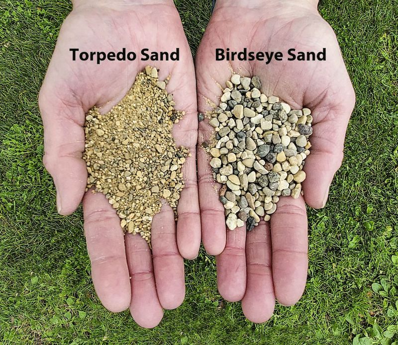
The plan calls for both coves to be built out by 40 feet.  Sand will be strategically placed and include a combination of:

The nature cove shoreline has receded approximately 45 feet and the swimming cove shoreline has receded approximately 55 feet according to Margaret Boshek, a coastal engineer with SmithGroup. Though the Interpretive Center at the nature cove has a protective revetment, current patterns of beach erosion could put other Rosewood structures at risk in the near future.

Arising from the Sand Management Working Group and in conjunction with the Illinois State Geological Survey, a citizen-science program called COASTS (Citizens Observing and Surveying the Shoreline) has been developed which trains volunteers to collect beach erosion and accretion data at sites throughout Illinois.  To learn more about COASTs:  https://publish.illinois.edu/lakemichigancoasts/

As the Park District works to provide safe and fun beach-going experiences through routine maintenance of our beaches, we also recognize that we are part of a dynamic and complicated lake ecosystem that requires us to have proactive and flexible plans in place to continue to protect our shoreline.   The Rosewood Sand Nourishment Project will stem the current pattern of severe erosion at the nature and swimming coves.  Though the Interpretive Center at the nature cove has a protective revetment, continued beach erosion could put other Rosewood structures at risk in the near future.  In addition, the Park District participates with other lake shore communities in the Sand Management Working Group, which partners scientists, local, state and federal agencies and the IDNR Coastal Management Program to better understand and find long term best practices for coastal issues.

The new expectation for the future is that lake levels will be more volatile, rising and falling more quickly, though the jury is still out as to whether that means the setting of new records — high or low — will be a common occurrence.

There are many reasons for Great Lakes water levels to rise.  In Lake Michigan, a primary reason is the balance between evaporation and precipitation.  Back-to-back cold winters in 2013 and 2014 contributed to the sudden increase in 2014.  Ice cover blocked typical patterns of winter evaporation and then contributed to subsequent runoff from melting of snow and ice. Stronger storms and unusually wet years since then are pushing Great Lakes water levels up. 

The rise and fall of lake level is a normal process for the Great Lakes. Lake level varies daily, monthly, seasonally, and annually. Just five years ago, in the spring of 2013, Lake Michigan was experiencing close to record lows.